Phulara Ridge Trek
Trek with the longest ridge walk
Available Batches
Available Batches
Brief Description
Brief Itinerary
Detailed Itinerary
Day 1
Drive from Dehradun (640M) to Sankri (1,950M)
Distance: 197 kms
Duration: 9-10 hours
The journey to Sankri begins from the capital city of Uttarakhand, Dehradun. If you have opted for transportation by Bikat Adventures, please ensure you board your vehicle from ISBT Dehradun latest by 7 AM. If you are traveling on your own to Sankri, the article below could come in handy in planning your trip.
How to Reach the Famous Base Village, Sankri
Sankri is located at a distance of 197 km from Dehradun and would take about 9-10 hours to cover, taking us to an altitude of 1,950M. It takes close to 2 hours and 20 km to cross through the city, after which the road starts to gain elevation and reveals a stunning cityscape of Dehradun. About 33 km in, the drive takes us through the spectacular hills of Mussoorie and the renowned Kempty falls. The roads here are long and winding and swift mountain streams run parallel to the roads in many sections.
After crossing Mussoorie, the landscape changes distinctly. Deep gorges are replaced by a canopy of blue pine forests that carry the fresh scent of the woods with the holy Yamuna River accompanying us throughout. Once we cover a distance of 140 km, we enter into a charming little village called Purola, our lunch point. We can wait for a while here and soak in the raw Pahadi (mountain lifestyle) culture and colours. The final stretch of 22 km to Sankri, however, steals the show as we drive through the infamous Govind National Park that is home to a plethora of exotic flora and fauna. The roads can be rough in some sections but the breathtaking views of the dense conifer forests, Tons River Valley and scattered apple orchids more than make up for the bumpy ride.
Expect to reach Sankri by 5 PM. Sankri is a lush green village that hosts some unparalleled views of Mt. Swargarohini, especially during sunset. During the peak winter season, that is December to February, snow starts to make an appearance from the entry of the village itself. We spend the night in homestays.
After check-in, we will be left with enough time to freshen up and explore the surrounding areas.
Day 2
Sankri (1,950M) to Juda Ka Talab (2,773M)
Distance: 5 kms
Duration: 5 hours
The gradient for today’s trail is a mix of easy ascents and flat stretches. There are 2-3 water sources on the way as we gain a total of around 700 meters of altitude across 5 km.
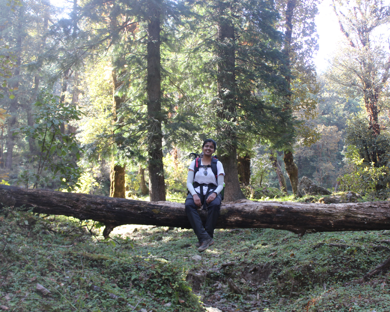
We leave the accommodation by 9 AM and walk for a few minutes towards the entry point of the trek. Within a few 100 meters, the roadway ends, giving way to a trail route which takes us through the forest area. As we enter, small shrubs and tall pine trees accompany us on both sides of the trail. About 30 minutes and 1 km in, we are in the middle of a proper jungle with a mix of other trees like deodar, oak, and rhododendrons. Keep your ears sharp, eyes peeled and look up. You can hear and spot some exotic birds on treetops. Now look down, and you will notice squishy moss and brown ferns growing on the sides of small boulders. This setting continues for the next kilometer through a thicker region of the forest.
At the end of 2 km, we arrive at the first dhaba (canteen) of the day. The trail from the dhaba mildly ascends for 1 km and stops at a clearing. The iconic Basuriwala dhaba (flutist’s canteen) is located here. A hot cup of tea and some divine music from the flutist is a delectable delight you can never get in the city.
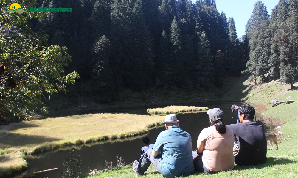
Beyond the clearing, we enter into the forest area again. The trails mildly ascend for another 1 km and land on a second clearing. Compared to the first grassland, the second clearing is fairly small in diameter. It provides for a good space to rest a while. Half a kilometer from the second clearing, a stunning lake appears in front of us. This is the legendary JKT – Juda Ka Talab. We stop here for lunch near the lake.
JKT – Juda Ka Talab is a famous alpine lake of the Sankri region. Legends believe that the almighty Lord Shiva was looking for a place to meditate. When he entered this clearing, he removed a few strands of hair from his head (juda – strands of hair) and made a divine lake here (talab meaning Lake). To sit next to the emerald green lake and observe the reflection of moving trees and clouds on its surface is surprisingly calming. When the wind brushes the dried leaves, they twirl, swirl, fall on the lake and float around.
JKT is also well known as a campsite for the Kedarkantha trek. The narrow trail that runs right next to the lake will take you to the peak of Kedarkantha. After lunch, we embark on the route opposite the Kedarkantha trail, get into the forest and walk for another 500 meters towards the third and final clearing of the day, our campsite right next to a small water stream.
Day 3
Juda Ka Talab (2,773M) to Bhoj Gadi (3,400M)
Distance: 5 kms
Duration: 5 hours
The gradient for today comprises of moderate ascents and meadow sections. There are adequate water sources throughout the route as we gain an altitude of around 700 meters.
We start at 9 AM and walk through a forest denser than the one we crossed yesterday. Once we cross a distance of 1 km, the flat jungle trails get narrower and start to incline upwards. Here, the roots of the trees protrude from the ground creating a natural facade to welcome you. Don’t try to lean or sit on them, sometimes they are flimsy and weak. You may fall. The trail continues to climb up for the next 500M until it reaches a wide grassland. The open area offers some of the most picturesque views of the Sankri range of mountains with locals going about their daily business.
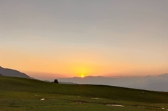
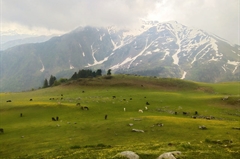
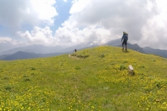
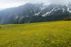
The nature of the trail changes from this grassland. It starts to descend and leads us back inside the forest area. For 20 minutes and 1 km, the easy descend lands on a charming little bridge. Nimble waters find their way to rush under an old wooden log. We fill our water bottles here and get ready to go through the toughest climb of the day. The trails from the water stream incline at a 45–50 degree ascent for 500 meters. As soon as we climb this patch and reach the top, the tree line ends giving way to a grand skyline with lush meadows. This podium holds the views of the renowned Kedarkantha peak on one side and the humongous Phulara Ridge on the other. The Kedarkantha trek (3,810M) is a prominent winter trek of the Himalayan region in Uttarakhand, famous for its snowscape and white shades. During the months before winter, the brown and dry shades of this peak overpower the landscape as seen from the trails of the Phulara Ridge trek. The meadows take us up and down through its vast surface and silver-grey boulders. About half an hour from here, we reach Bhoj Gadi, our campsite for the day.
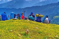
After settling down at the campsite, we rest and go to the top of the ridge for an acclimatization walk. We gain an altitude of 300 meters, spend some time and come back to get our body accustomed to the high altitude.
(Note: Airtel and BSNL networks are available on the top of the ridge.)
Day 4
Bhoj Gadi (3,400M) to Pushtara (2,800M) via Phulara Ridge (3,700M)
Distance: 11 kms
Duration: 7 hours
Today is the main day of the trek. Though the gradient is a mix of flat trails and easy descents, the real challenge for the day is the distance. There is just a single water source on the way, so it is advisable to carry 2 liters of water with you as you start your day.
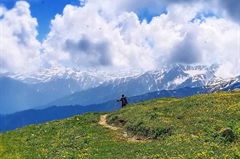
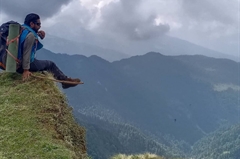
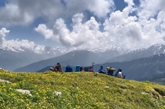
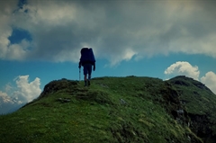
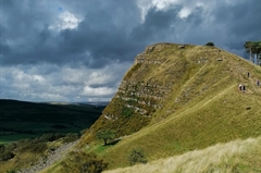
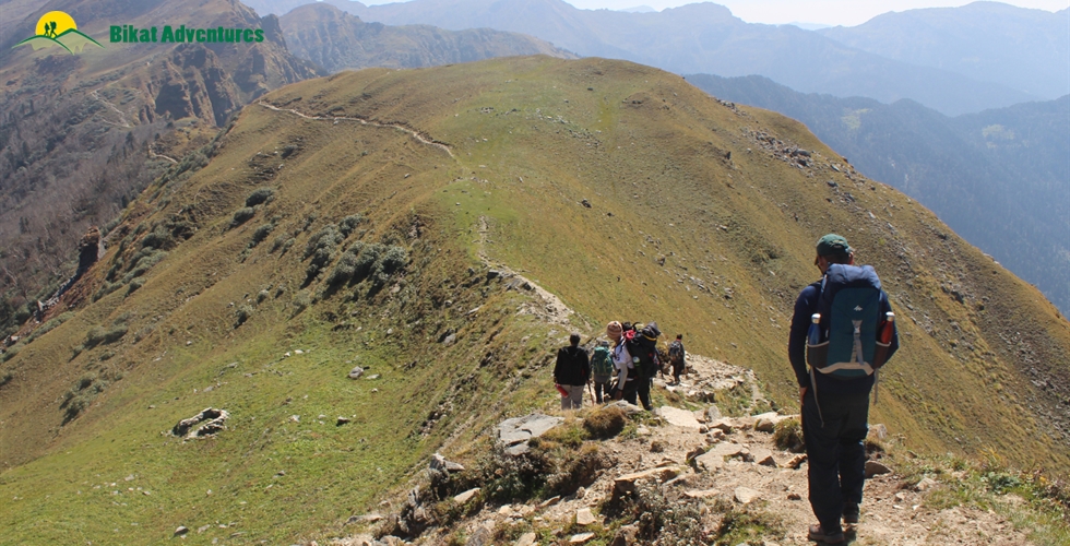
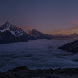
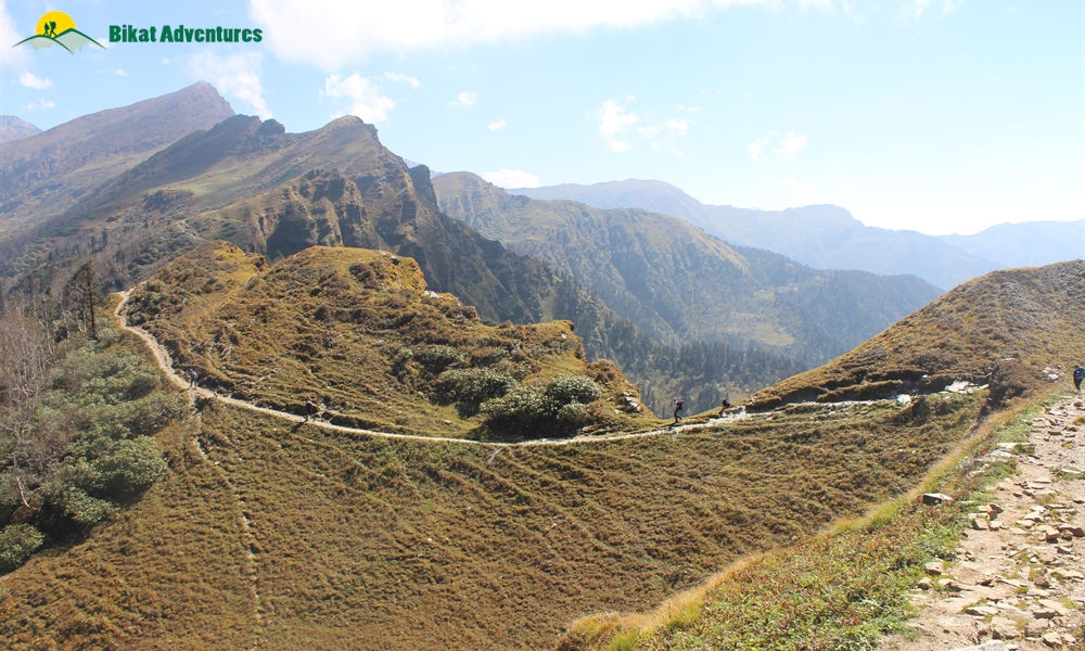
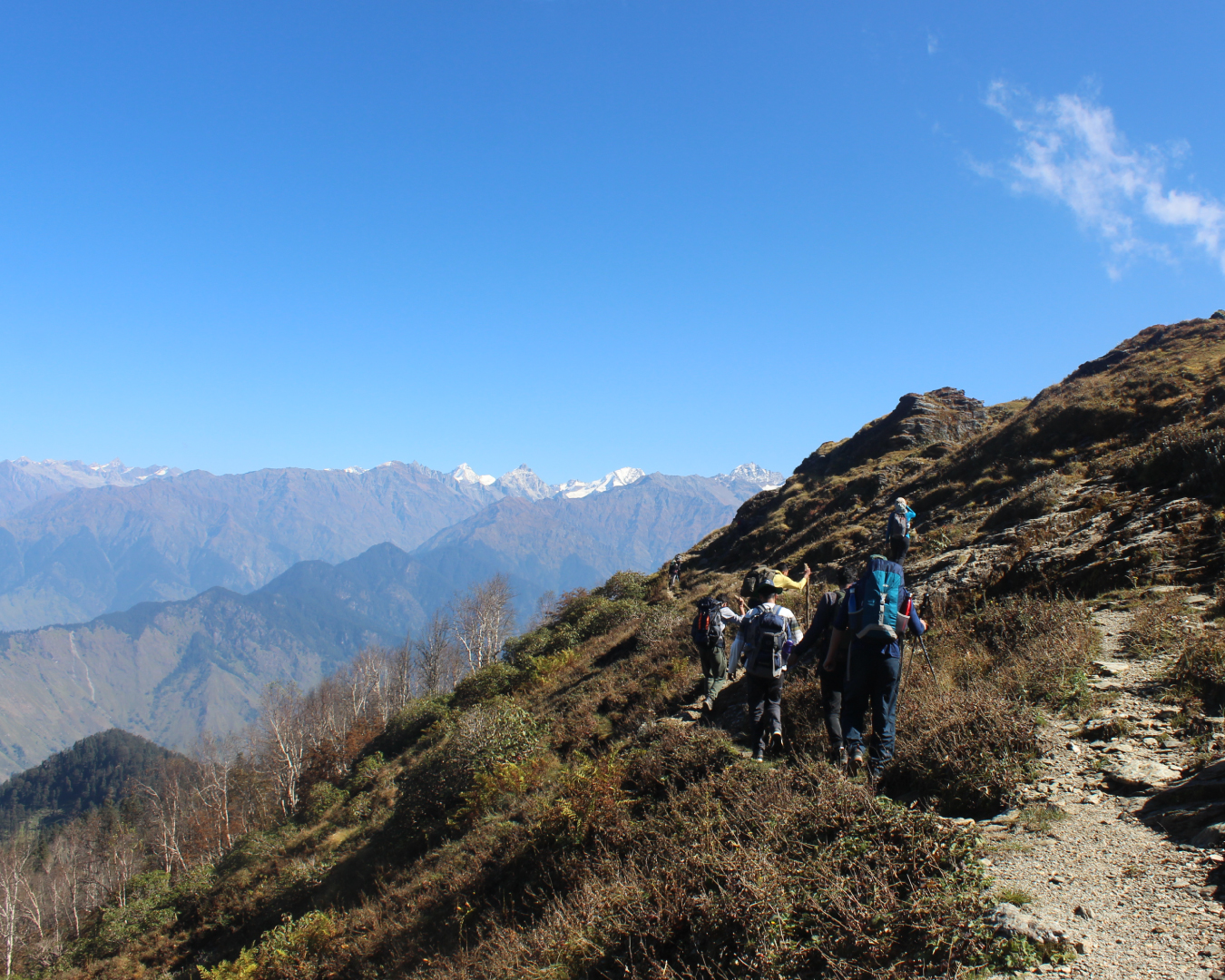
Around 9 in the morning, we vacate our campsite and start walking along the trail that runs a little lower and parallel to the ridge. These trails are flat for the first kilometer, and then they gradually incline and lead us to the ridge. It is an easy, 50-minute hike. Once on top, brace yourself for some action-packed heavy winds. Hold on to your caps and phone, to keep them from blowing away. The Phulara Ridge is a prodigious architecture of nature. Whichever direction you face, you will be surprised by a wide range of exquisite mountains and deep layers of valleys. The 360-degree view tends to stay with you throughout your time on the ridge. The pathway takes you up and down, on shrubs with golden brown texture and red crops. As we keep walking further, the heads of many peaks appear in view and reveal their massive body when we get closer to their viewing range. Keep an eye out for the peaks of Swargarohini (6,252M) and Kala Nag (6,387M), enlightening us with their presence. The sheer amount of splendor on this trek is enough to amaze all your senses to the very core.
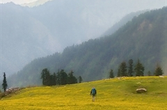
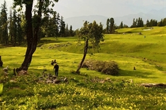
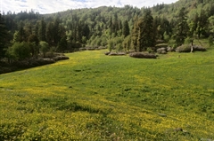
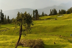
We continue for 3 km to reach an open plain right next to a water stream, which is our lunch point for the day. We wait for an hour, rest, revitalize and resume our trek. One kilometer into the journey, we reach our descending point. The land from the ridge on the descent point expands and transforms into the beautiful meadows of Pushtara. Walking on these lush green meadows is as easy as a walk in the park - stretch your arms, run and glide like a plane! This is an ideal spot for Frisbee as well.
After descending for 3.5 km on the meadows, we again enter into a dense forest area. The trails starting from the tree line are paved with stones. This is because of the frequent movement of the villagers and shepherds in search of firewood and fodder. The tree line extends for another 1.5 km and takes us to a small clearing next to a river stream, our campsite for the day.
Day 5
Pushtara (2,800M) to Sankri (1,950M) via Taluka (2,108M)
Distance: 8 kms + 12 kms
Duration: 5 hours trek + 1 hour drive
Today’s gradient is composed of easy descents. There are 3-4 water streams on the way.
We start by 9 AM and descend through a dense forest area. The walk downhill is a labyrinth of dead logs intersecting the pathway, with creepers and wild vines growing longer and denser. The fallen tree logs serve as a base for other plants. Don’t forget to check this fallen art.
Another interesting aspect here is the zigzag pattern of the descending trail. If you are in the middle, you can easily notice the first person leading ahead and the last person coming behind. Once we cover a distance of 3 km, we walk out of the forest line and land on a T junction.
The path towards the right takes us on the trail of the famous Har Ki Dun (3,500M) trek and the path to the left takes us to the ancient village, Taluka. We take a left and walk on the antique lanes of Taluka. As we go through the village, we can witness the turquoise blue Supin River from the distance, heritage huts built on wood and sand, native villagers working on fields, and the vibrant colors of their attires. We walk for 1.5 km and finally reach the assembly point at the entrance of the village. The Phulara Ridge trek ends here.
Drive from Taluka to Sankri:
The drive from Taluka to Sankri is a short and exciting experience. A dedicated vehicle picks us up from the assembly point. This bumpy 12 km ride should take us an hour to cover. A peek through the window will give you a glimpse into the depth of the valley. If not butterflies, do not be surprised if you suddenly develop a tingling sensation in your stomach. Be on the lookout for the curious Himalayan ravens checking you out as you drive through the valley. After 6 km, we cross a small water stream. The dramatic effect of the vehicle splashing water as it drives through the stream does its share to induce childlike glee! On reaching Sankri, we rest our weary selves in the warmth of the homestay, hosted by a local family.
Day 6
Sankri (1,950M) to Dehradhun (640M)
Distance: 197 kms
Duration: 9-10 hours
We leave Sankri by 9 AM and reach the Dehradun ISBT bus terminus around 8 PM. Because of heavy traffic, the roadways from Sankri to Dehradun are prone to delays. If you are planning to travel by flight, it is advisable to stay for the night and plan your journey the next day.
What's Included
- Food as per menu on the trek
- Forest Permits/Camping Charges
- Tents, Sleeping bags, mats
- Safety Equipments
- Trek guide, cook, helpers, porters and mules for carrying common luggage
- Services of a Trek Leader
- Transportation if specified in Itinerary
What's Not Included
- Meals during road journeys
- Meals during hotel/guest house stay
- Carriage of Personal Bags during the trek
- Any kind of Insurance
- Any expense of personal nature
- Any expense not specified in the inclusion list.
Are you Eligible for this Adventure?
Whether you are an avid trekker in search of a new territory or are beginning your journey into the world of trekking, Phulara Ridge is a trek worthy of consideration.
BRS Level Required
Since it is a beginner’s trek, you need no special prior experience. Although one is required to have mental preparedness and stamina before he/she begins the trek.
If you do not know what level of BRS trek would suit you best, worry not! Fill out this Form:
we will send you a progression chart to help you comfortably get out of your comfort zone in order to level up and ultimately reach your highest potential in the big, bad world of outdoor adventure.
Packing List
This is a list of essential items for individuals doing the trek with Bikat Adventures. This list contains only those items which the participants are required to bring with them. The list excludes those items which are provided by Bikat Adventures on the trek. We have divided the items into five categories. All the items in the list are essential except for those marked as optional.
Trekking Gear
- Ruck sack bag with rain cover. Qty -1
- Day Pack Bag - Recommended for treks with summit day
- Head Torch with spare Batteries. Qty -1
- U V protection sunglasses. Qty -1 Here is how you can choose the best sunglasses for trekking.
- Water Bottles: 2 bottles of 1 liter each
Footwear
- Non-skid, deep treaded, high-ankle trekking shoes Qty -1
- Pair of light weight Slipper/Sandals Qty -1
Clothing
- Quick Dry Warm lower or Track Pants. Qty - 2
- Full sleeves T-shirts/ Sweatshirts. 1 for every 2 days of trekking
- Pair of thick woolen socks. 1 pair for every two days of trekking
- Thermal Body warmer Upper & Lower. Qty-1
- Undergarments. Qty - 1 for every day of trekking
- Warm jacket closed at wrist & neck .Qty-1
- Full sleeves sweater. Qty -1
- Rain wear ( Jacket & Pants ) . Qty-1
- Pair of waterproof, warm gloves. Qty-1
- Woolen cap. Qty-1
- Sun shielding Hat. Qty -1
Toiletries
- Personal toiletries kit (Small Towel, Toilet paper, paper soap, Bar soap, toothbrush, toothpaste, cold cream, etc.)
- Sun screen lotion small pack. Qty -1 Here is your Sun Protection 101 to stay safe in the bright sunny outdoors.
- Lip Balm small pack. Qty-1
Utensils
- Small size, Light weight & Leak proof lunch box. Qty-1
- Plate. Qty- 1
- Spoon.Qty-1
- Tea/Coffee (plastic) Mug.Qty-1
Miscellaneous
- Camera (Optional)
- Carry your medicines in plenty in case you have any specific ailment. Consult your doctor before joining the trek.
- Dry fruits, Nuts, Chocolate bars (Optional)
Frequently Asked Questions
Why Bikat?

Small Group Size
Our batch sizes are capped at 15 for smaller treks with the trek leader and trekker ratio of 1:8. This ratio, in our years of experience, has proven to deliver the best trekking experience for individuals as well as groups. Capping the size of the group ensures individual attention to each trekker so that no signs of distress or need during the trek go unnoticed. It also helps to form a more cohesive cohort with better group energy which helps define the rhythm and pace of days on the trek. As you go higher up on the BRS scale, since the stakes are higher, expeditions have an even smaller group size with the ratio of expedition leader to climber set at 1:2.

Qualified Trek Leaders
We follow a rigorous regime of hiring and training our experts in the field. Each trek leader is a certified mountaineer with years of experience in the field. In addition to their qualification, they also go through practical and situational training to tackle any and all kinds of sudden conditions that may present themselves on the ground. Being unpredictable is the core nature of the mountains but being ready for any circumstance as best as possible is a controllable asset that we try to nurture. Our field experts are also trained in basic medicine and first-aid response. Watch: Forerunners - The Making of A Trek Leader At Bikat Adventures

Guided Progression
Since Bikat Adventures is a learning-based organization, we help you climb up the ladder of difficulty within the sphere of outdoor adventure systematically. Our on-ground training modules are designed to handhold you through the upskilling process so that you are ready to take on bigger challenges.
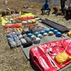

Equipment Quality and Check
All the gear used on our treks and expeditions is tried and tested, maintained for good quality, and is overall top-notch in quality and condition. We are continually looking to obtain the best of everything there is in the market so as to ensure optimum safety.

Support Systems
Along with the staff you see on-ground, we have a team of superheroes working in the background to give you the best experience possible. Our background team also comprises local staff from each area who know the region best. Having local support helps with studying the area, pre-planning, execution, and in receiving timely support in case of emergencies in these remote locations.


Communication
Our on-field staff is in constant contact with our teams based in primary locations so as to eliminate any avoidable delay in reaching additional help and support when required. We try to use the best tools for communication available, including satellite phones, in regions where they are not restricted.
What our customers Say
Cancellation Policy
Cash refund
Cancellations up to 60 days prior to departure date
Between 60 days upto 30 days prior to departure date
Between 30 days upto 10 days prior to departure date
Less than 10 days prior to departure date
Voucher refund
Cancellations up to 30 days prior to departure date
Between 30 days upto 15 days prior to departure date
Between 15 days upto 10 days prior to departure date
Less 10 days prior to departure date
- Cash refund is applicable only in case of bookings made without using any promotional offer code or Cancellation Vouchers or Discounts
- This is only a brief of cancellation terms. For finer details please refer Detailed Cancellation Policy.
Blog Posts
Similar Adventures
Kedarkantha Trek
The Perfect Summit Trek for Beginners
Uttarakhand
5 Days
BRS 2
3810 m
Dayara Bugyal Trek
A Short Escape for a Long Weekend
Uttarakhand
5 Days
BRS 2
3750 m
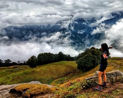
Bhrigu Lake Trek
A Weekend Escapade into the prettiest grassland of Himachal
Himachal
3 Days
BRS 2
4267 m
