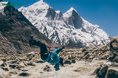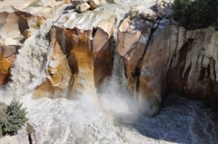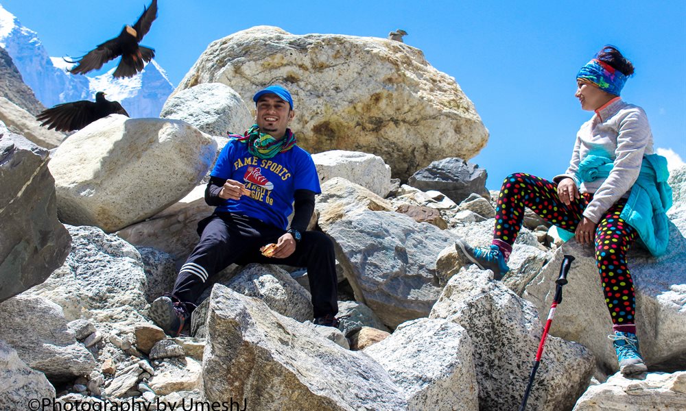
Gaumukh Tapovan Trek
Not just a trek but a journey to the source of River Ganga
Available Batches
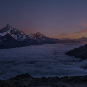


Brief Description
Brief Itinerary
Detailed Itinerary
Day 1
Make your way to Gangotri (3,415M)
The trek begins from Gangotri which is a mountain city on the banks of River Bhagirathi and is known to be the origin of the holy River Ganga. Located in the Greater Himalayan Range, legend says that this is where Goddess Ganga descended when Lord Shiva released the river from the locks of his hair. This holy city which lies at an altitude of 3,415M is a 245 km drive away from Dehradun – the closest city with an airport.
If you have signed up with Bikat for a drive from Dehradun to Gangotri, the day starts early. Everyone assembles at the meeting point by 7 in the morning so we can start our long drive up to Gangotri, a holy mountain city in the Uttarkashi district of Uttarakhand. Although there’s nothing more on the agenda for today other than the 8-9 hour drive, it is better to leave as early as possible for two reasons:
One, so we can reach as early as possible and give our bodies enough rest for what’s coming the next day. And, two, roads on the mountains are unpredictable and it is always better to account for delays when we start. It is also better to reach before it gets dark.
Day 2
Gangotri (3,415M) to Chirbasa (3,600M) - 9 km
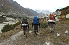
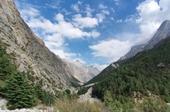
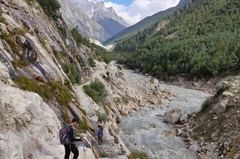
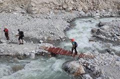
Today is our first day of the actual trek. We start early after an early breakfast. We will be walking towards Gomukh, the snout of Gangotri glacier. Our destination for today is Chirbasa which is at an altitude of 3,600M and means home of pine in the local language – no points for guessing what kind of trees you are likely to find en route to Chirbasa which will take us 4 hours to get to. The entire trek up until Chirbasa is alongside the roaring Bhaigrathi River whose refreshing spirit is likely to keep the spring in your gait alive all the way through.
Day 3
Chirbasa (3,600M) to Bhojwasa (3,775M) - 5 km
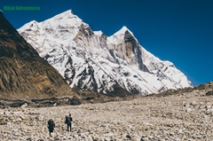
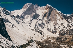
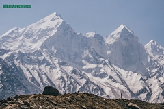
Bhojwasa in the local language literally translates to the home of birch trees. A view of the very impressive Bhagirathi range of peaks follows alongside. There is a dramatic change of scenery after Chirbasa when the trail starts to get barren and desolate. Since we covered a major part of the distance yesterday, today is not an overly heavy day. Expect to reach our campsite by the river by lunchtime. The mesmerizing sunset over the spectacular Bhagirathi range is a perfect view to end your day with.
Day 4
Bhojwasa (3,775M) to Tapovan (4,460M) via Gomukh (4,025M) - 14 km Trek
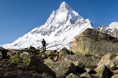
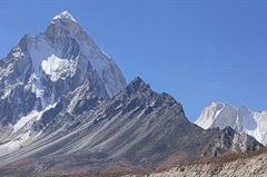
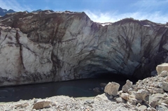
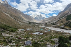
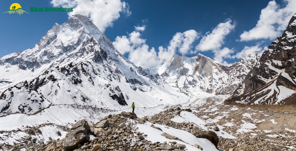
Today is the big day. We wake up to the majestic view of the Bhagirathi range of peaks and head out for our next campsite after an early breakfast. We will be crossing the snout of the glacier that we saw glimpses of on our way yesterday. We will be walking alongside our companion, River Bhagirathi, till we get to Gomukh. Gomukh, which curiously translates to the mouth of the cow, was named so by sages of the yesteryears for its appearance. Gomukh is known to be the source of Ganga and where it originally begins its long journey through the many regions it flows by. We spend some time exploring the region around Gomukh after which we head on toward Tapovan - one of the finest high-altitude alpine meadows in the area. The trail from Gomukh onwards is one on moraine-rich glaciers. The view of the surrounding peaks starts to get wider and wider as the trail from Gomukh to Tapovan gets steeper with every step forward. Tapovan, known for its gorgeous meadows encircling the base of Shivling Peak, is a beautiful campsite bustling with many freshwater streams and an assortment of wildflowers scattered across its floor. Herds of Bharal (blue mountain goats) running up and down the mountain ridges with magnificent views of Bhagirathi I, II, and III in the background, is a common sight here. Is it any wonder why Tapovan remains one of the most preferred spots for spiritually inclined people for their long periods of meditation? We can try some of that as we set up camp here for the night!
Day 5
Tapovan (4,460M) to Bhojwasa (3,775M) - 6 km
We trace our steps back through the familiar territory to get to Bhojwasa.
Day 6
Bhojwasa (3,775M) to Gangotri (3,415M) - 14 km
We give Chirbasa a skip on our way down and head on directly to Gangotri.
Day 7
Gangotri (3,415M) to Dehradun (640M) - 245 km
The day is a long drive back to Dehradun. Expect to reach Dehradun by early evening and plan your journey ahead accordingly.
Day 8
Reserve Day
In case of bad weather or other difficulties which might set us off schedule during the course of the trek, Day 8 is set as a reserve day. This will only get used if unexpected and unforeseeable conditions present themselves at the last minute preventing us from reaching our destination as planned. If the buffer day is used, you have to pay Rs. 2,500 per day (INR). The amount will be collected by the Trek Leader.
What's Included
- Camping during the trek
- Veg Meals as per menu on all trek days
- Gaiter, Micro-spikes, and Helmet as required
- Trek Permissions Fee, if any (Upto the amount charged for Indian nationals)
- First aid medical kit including oxygen cylinder
- Experienced Guide and Support staff
- Mountaineering course certified Trek Leader with First Aid certification
- 2 Nights Hotel Stay in Gangotri
What's Not Included
- Portage of personal bags during the trek
- Cost of any kind of Travel Insurance.
- Any Expense of personal nature.
- Any Expense not specified in the inclusions list.
- Meals during hotel stay in Gangotri & road journeys
Are you Eligible for this Adventure?
Located at an elevation of 4,460M, Gaumukh Tapovan is a moderate level trek which for its difficulty level is suitable for anyone with some prior experience of high-altitudes.
BRS Level Required
This makes it mandatory for you to have high-altitude experience of preferably multiple treks marked at level 3 on the BRS. The altitude, the terrain and the nature of the climb demand a certain level of skill and a need for you to be aware of how your body reacts to the various features of high altitude environment.
If you do not know what level of BRS trek would suit you best, worry not! Fill out this Form:
we will send you a progression chart to help you comfortably get out of your comfort zone in order to level up and ultimately reach your highest potential in the big, bad world of outdoor adventure.
Packing List
This is a list of essential items for individuals doing the trek with Bikat Adventures. This list contains only those items which the participants are required to bring with them. The list excludes those items which are provided by Bikat Adventures on the trek. We have divided the items into five categories. All the items in the list are essential except for those marked as optional.
Trekking Gear
- Ruck sack bag with rain cover. Qty -1
- Day Pack Bag - Recommended for treks with summit day
- Head Torch with spare Batteries. Qty -1
- U V protection sunglasses. Qty -1 Here is how you can choose the best sunglasses for trekking.
- Water Bottles: 2 bottles of 1 liter each
Footwear
- Non-skid, deep treaded, high-ankle trekking shoes Qty -1
- Pair of light weight Slipper/Sandals Qty -1
Clothing
- Quick Dry Warm lower or Track Pants. Qty - 2
- Full sleeves T-shirts/ Sweatshirts. 1 for every 2 days of trekking
- Pair of thick woolen socks. 1 pair for every two days of trekking
- Thermal Body warmer Upper & Lower. Qty-1
- Undergarments. Qty - 1 for every day of trekking
- Warm jacket closed at wrist & neck .Qty-1
- Full sleeves sweater. Qty -1
- Rain wear ( Jacket & Pants ) . Qty-1
- Pair of waterproof, warm gloves. Qty-1
- Woolen cap. Qty-1
- Sun shielding Hat. Qty -1
Toiletries
- Personal toiletries kit (Small Towel, Toilet paper, paper soap, Bar soap, toothbrush, toothpaste, cold cream, etc.)
- Sun screen lotion small pack. Qty -1 Here is your Sun Protection 101 to stay safe in the bright sunny outdoors.
- Lip Balm small pack. Qty-1
Utensils
- Small size, Light weight & Leak proof lunch box. Qty-1
- Plate. Qty- 1
- Spoon.Qty-1
- Tea/Coffee (plastic) Mug.Qty-1
Miscellaneous
- Camera (Optional)
- Carry your medicines in plenty in case you have any specific ailment. Consult your doctor before joining the trek.
- Dry fruits, Nuts, Chocolate bars (Optional)
Frequently Asked Questions
Why Bikat?
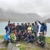

Small Group Size
Our batch sizes are capped at 15 for smaller treks with the trek leader and trekker ratio of 1:8. This ratio, in our years of experience, has proven to deliver the best trekking experience for individuals as well as groups. Capping the size of the group ensures individual attention to each trekker so that no signs of distress or need during the trek go unnoticed. It also helps to form a more cohesive cohort with better group energy which helps define the rhythm and pace of days on the trek. As you go higher up on the BRS scale, since the stakes are higher, expeditions have an even smaller group size with the ratio of expedition leader to climber set at 1:2.

Qualified Trek Leaders
We follow a rigorous regime of hiring and training our experts in the field. Each trek leader is a certified mountaineer with years of experience in the field. In addition to their qualification, they also go through practical and situational training to tackle any and all kinds of sudden conditions that may present themselves on the ground. Being unpredictable is the core nature of the mountains but being ready for any circumstance as best as possible is a controllable asset that we try to nurture. Our field experts are also trained in basic medicine and first-aid response. Watch: Forerunners - The Making of A Trek Leader At Bikat Adventures

Guided Progression
Since Bikat Adventures is a learning-based organization, we help you climb up the ladder of difficulty within the sphere of outdoor adventure systematically. Our on-ground training modules are designed to handhold you through the upskilling process so that you are ready to take on bigger challenges.
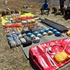

Equipment Quality and Check
All the gear used on our treks and expeditions is tried and tested, maintained for good quality, and is overall top-notch in quality and condition. We are continually looking to obtain the best of everything there is in the market so as to ensure optimum safety.

Support Systems
Along with the staff you see on-ground, we have a team of superheroes working in the background to give you the best experience possible. Our background team also comprises local staff from each area who know the region best. Having local support helps with studying the area, pre-planning, execution, and in receiving timely support in case of emergencies in these remote locations.

Communication
Our on-field staff is in constant contact with our teams based in primary locations so as to eliminate any avoidable delay in reaching additional help and support when required. We try to use the best tools for communication available, including satellite phones, in regions where they are not restricted.
What our customers Say
Cancellation Policy
Cash refund
Cancellations up to 60 days prior to departure date
Between 60 days upto 30 days prior to departure date
Between 30 days upto 10 days prior to departure date
Less than 10 days prior to departure date
Voucher refund
Cancellations up to 30 days prior to departure date
Between 30 days upto 15 days prior to departure date
Between 15 days upto 10 days prior to departure date
Less 10 days prior to departure date
- Cash refund is applicable only in case of bookings made without using any promotional offer code or Cancellation Vouchers or Discounts
- This is only a brief of cancellation terms. For finer details please refer Detailed Cancellation Policy.
Blog Posts
Similar Adventures
Tarsar Marsar Trek
A Shorter and Easier Alternative to the Kashmir Great Lakes Trek
Kashmir
7 Days
BRS 4
4024 m

Hampta Pass Trek
An Enchanting Cross-Over from Manali to Spiti
Himachal
5 Days
BRS 4
4200 m
Annapurna Base Camp Trek
The perfect mesh of adventure, culture and natural splendor
Nepal
9 Days
BRS 4
4130 m

