Baraadsar Lake Trek
A Challenging Off-beat Trail tucked between the Rupin and Supin Valleys
Available Batches
Available Batches
Brief Description
Brief Itinerary
Detailed Itinerary
Day 1
Make your way to Sankri (1,920M)
Distance: 185 kms (Dehradun to Sankri)
Duration: 8-9 hours
If you have signed up with Bikat for a drive from Dehradun to Sankri, our day starts early. All of us assemble at the meeting point by 7 in the morning so we can start our long drive up to Sankri – a trekking hub in the Garhwal region of Uttarakhand. Although there’s nothing more on the agenda for today other than the 9-hour drive and settling into mountain air, it is better to leave as early as possible for two reasons:
One, so we can reach as early as possible and give our bodies enough rest for what’s coming the next day. And, two, roads on the mountains are unpredictable and it is always better to account for delays when we start. It is also better to reach before it gets dark.
Sankri is a trail head for a lot of trekking routes and is bustling with trekkers across the year. Popular trails such as Har ki Dun, Borasu Pass, Bali Pass, Kedarkantha, Dev Kyara, Phulara Ridge to name a few, all start from this scenic village centered in the background of some of the most splendid mountains in the region.
The drive from Dehradun takes us on scenic mountain roads. If you have the slightest motion sickness, the smooth roads can easily make your head spin with its curves. The ever-changing landscape with each turn, however, is a good way to keep yourself distracted. Tall trees, massive fields and entire mountain faces cut into steps for farming are views you wouldn’t want to miss for some shuteye. The drive takes you through some very big towns but also alternates between small patches of busy roads with village shops and long empty stretches with nothing but the sound of the wind and the birds.
The constant shift between the noise and the calm has a different sense of serenity attached to it. What’s even better is that breakfast and lunch, on local dhabas along the way make sure we get to indulge our tastebuds in some locally popular cuisine. The last two hours of the drive take us through a smooth road lined with thick forests on both sides. The sparkle of the forest is enough to refresh us from the long drive to get to our destination. Sankri is a trail head for a lot of popular treks and hence is not short on facilities. Although there is no phone network in Sankri, you can probably find a shop in the market which will be happy to loan you wi-fi in case of urgent need.
Waiting for us, at the end of the trail of this back-breaking journey will be a warm, wooden homestay with cozy rooms and a home cooked meal. Expect to reach latest by 7 PM.
If you have not opted for travel with Bikat from Dehradun to Sankri and are to meet the group directly at the trail head, check out the article on how to reach Sankri (How to reach Sankri?) for any assistance. Do plan your travel so as to reach Sankri latest by 7 in the evening. (Please note: Bikat can arrange for your transport for an additional cost as mentioned in the Add-Ons section above.)
Day 2
Sankri (1,920M) to Barthatra thatch (2,510M) via Jakhol (2,200M)
Distance: 18 kms + 3 kms
Duration: 3 hours drive + 3 hours trek
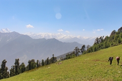
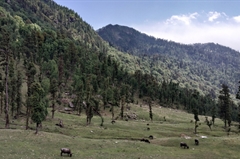
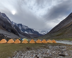
The day starts with a 3 hour drive from Sankri to the starting point of this trek, a very beautiful village named Jakhol. It is one of the oldest villages in that region where the houses are wonderfully crafted by pine wood; this ancient village represents the rich and colorful culture of this part of the country. The trail cuts through small bushes on a slope with spectacular views of the massive open valley to the right till we reach the first campsite named Barthatra Thatch. The first day of the trek is pretty decent in terms of difficulty, there are no steep ascends. But the major highlight of the day is the Barthatra campsite. Thatch is the local word for clearings of open grounds surrounded by forest. The campsite is a meadow, meaning huge grasslands which are especially famous in this region of the Himalayas. The campsite is surrounded by oak trees in the upper reaches of the slopes – a great region to do some exploring. Post-monsoon there is also a spot which forms a small lake surrounded by oak trees making the setting even more pleasing to the eye.
Day 3
Barthatra Thatch (2,510M) to Dhaldhar Meadows (3,630M)
Distance: 5 kms
Duration: 5 hours
The sun comes up really early so we wake up to a bright and refreshingly sunny day (of course, only if it is not raining) and the calls of a dozen different birds that are joyfully hopping from one oak tree to another. The loud calls of woodpeckers and barbets to sing you out of your tents as the sun comes up.
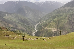
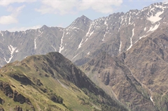
Today’s trek is a continuous 800M ascent through a forest thick with oak trees. Close to an hour and a half through these woods and 2 kms from our previous campsite, we are out of the woods to land into a massive meadow with massive ferns. The Supin river is like a silver thread now deep down at the meeting point of the two valleys. Snow clad mountains are now closer than ever before on this trail.
Today’s trek takes us almost halfway to the lake in question – the entire time straddling the border of Uttarakhand and Himachal Pradesh. One of the many things that is great about this trek is that it is so unknown that you have the entire valley to yourself with not another trekker in sight – for great lengths not even a sight of any villagers once you leave the areas of settlement behind. It is utterly and completely isolated.
At the end of the fern area, we get out on the other side to an uphill climb with the landscape now full of trees that grow like roots on the floor of the mountain, forming a labyrinth. At the end of 4 hours we are at the ridge, high up and exposed to strong winds but magnificent views. We have now already gained 750M in elevation, so the remaining distance is a pleasant and awe-inspiring walk on the ridge with an eye into the two different valleys and the big birds soaring high but much below us still.
An hour on this ridge and we make it to the campsite bang in the middle of wondrous meadows with wildflowers of as many colours as you can name. The only challenge for today is since it is a forest walk, the leaves and the moss on the forest floor make it extremely slippery especially on the inclines.
The biggest highlight of the day is when you get out of the woods and onto the ridge, everything suddenly seems to open up on both sides and it feels like you can breathe again after 4 hours under the forest canopy. It is extremely freeing. Oh! And also rhododendrons – they of course take over as the top highlight if you are here in the right season.
Day 4
Dhaldhar Meadows (3,630M) to Devbasa (3,738M)
Distance: 6 kms
Duration: 5 hours
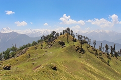
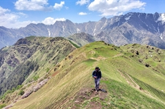
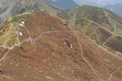
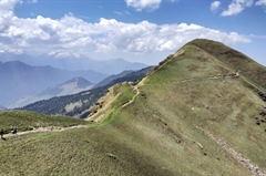
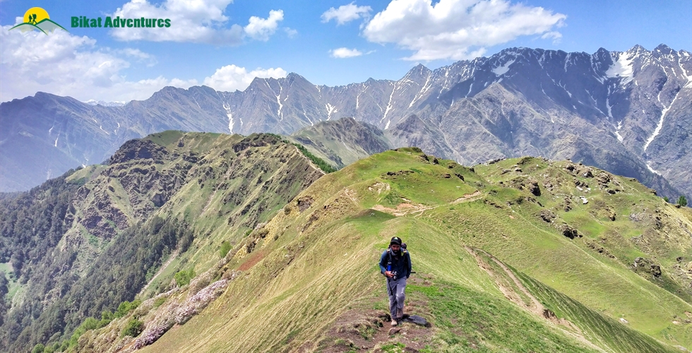
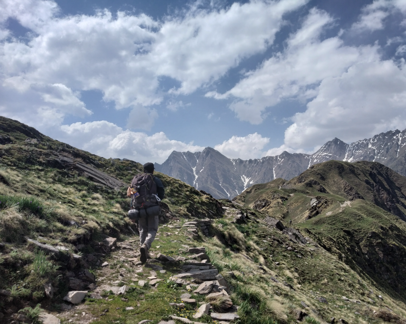
Today is all about the ridge. Narrow path, one eye to each of the valleys dressed in thick green on either side, strong winds and a harsh sun working its full force on this exposed strip of land – these are the things our day today is made of. Oh and sounds of the birds and howls of the winds add to the music in the air. In terms of difficulty, it’s more than manageable because we are gaining only 100M in elevation. The route takes you up and down so in actual terms the ascent might be more, but there isn’t too much the body has to adapt to in terms of actual altitude gain.
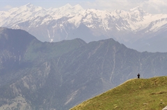
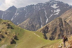
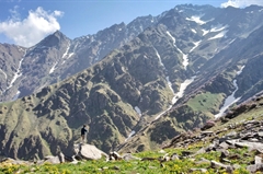
Since we are walking on the highest path of the valley which also happens to be narrow, we can see the trails leading to Barasdsar Lake. The open landscape on both sides looking down into the depths on the Rupin and the Supin valleys can get so spectacular and spellbinding that the challenge of the day includes keeping your head in the game and watching your next step so you don’t slip down into and get swallowed whole by one of these very valleys that you are swooning over!
What’s even better is that this exceptional walk-on-the-ridge leads us straight to what is hands down the best campsite of the entire trek – Devbasa.
Day 5
Devbasa (3,738M) to Baraadsar Lake (4,600M) via Baraadsar Summit (4,600M) and back to Devbasa (3,738M)
Distance: 8 kms
Duration: 10 hours
Today is the climax of our trek leading up straight to the main attraction of this entire show – Baraadsar Lake. And as climax days go, this one is going to be long and hard too with almost a 900M ascent and back. We start our push to the lake in the dead of the night so we can get there in time to catch the fourth or the fifth ray of the sun, if not the first!
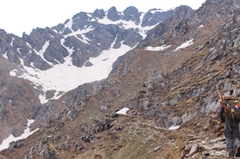
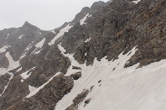
As goes without saying, the trail is a steep ascent all the way to the lake. As the sun comes up and starts to thaw the land a little, the first rays of the sun on the peaks in the vicinity is nothing if not glorious. The views only get better as we get higher.
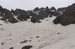
There’s a col and a shoulder to get to the place where the lake lies in our wait. The last section of the climb is a steep ascent which is extremely thrilling for you know what rests at its end like a pot of gold.
After spending some time at the lake, we make our way back to the safety of the tent.
Day 6
Devbasa (3,738M) to Vasaped (3,070M)
Distance: 11 kms
Duration: 7 hours
Distance-wise today is the longest but worry not. This trek, which is basically Y-shaped takes you back to a certain point on the same route only to diverge into the other valley to head back down. This means we are greeted with a different route and a different landscape on our way back down to keep things fresh and interesting.
Till the merging point from where the trail diverges, there are a few gradual ascents. The gradual ascent ends at a point called the Vijay Top which in itself is a famous trekking point for the splendid views it offers for it stands jutting out as a high-point in the valley with an open view of the landscape. This is the end of the meadows before we enter back into the thick of the forest as we close in on the treeline. It is all downhill from here on, between and through the forests of oak which at times could get tricky to navigate but overall are fairly manageable. After a steep descent, we reach our last campsite, Vasaped which is a clearing like our first campsite but different – same to same but different, if that makes any sense.
Our last campsite and our last night out in the tents on this trek.
Day 7
Vasaped (3,070M) to Bhitri (2,360M) via Saru Taal
Distance: 8 kms
Duration: 5 hours
Today is paradise for bird lovers – for everyone else too, but a bit more for bird lovers for all the chips and chirps and the spotting of tails and beaks and the guessing of names of species from their calls! The trail today continues within the forest of the oaks and the pines to the music of the Himalayan birds – some rare, some not, some unfamiliar and some common but each voice a soothing addition to this pleasant walk down.
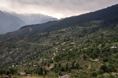
At the half way point for today, we are out of the forest and suddenly into habitation. Surrounded by tiny hamlets and people working on their farms, it is a nice change of scenery after having spent the last few days completely in isolation. At the far end, the Baraadsar peak still visible, looks down on us and smiles from its abode slowly fading into the horizon as we continue on.
Just before we finish the trek, it greets us with one final surprise - a small yet very charming lake named Saru Taal. We can spend some time here feasting on our packed lunches and reflecting on the journey that this was!
The trail ends at Bhitri, which is a small village, where the road head starts. There is an old village temple which is all degrees charming just in case you are looking for some exploring around in the time you have left. Overnight in a homestay.
Day 8
Bhitri (2,360M) to Dehradun (640M)
Distance: 200 kms
Duration: 6-7 hours drive
To go a full circle, we leave early in order to reach our starting and ending point, Dehradun. Expect to reach here by early evening and plan your travel ahead accordingly.
What's Included
- Food as per menu on the trek
- Forest Permits/Camping Charges, if any (upto the amount charged for Indian nationals)
- Tents, Sleeping bags, Sleeping mats
- Safety Equipment includes static rescue rope, seat harness, carabiners, pulleys
- Trek guide, cook, helpers, and porters for carrying common supplies
- Mountaineering course certified Trek Leader with Wilderness Emergency Responder & Rescue. course from NIM Uttarkashi
What's Not Included
- Portage of personal bags during the trek
- Cost of any kind of Travel Insurance.
- Any Expense of personal nature.
- Any Expense not specified in the inclusions list.
- Meals during road journeys
- Transportation from Dehradun to Dehradun.
Are you Eligible for this Adventure?
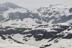
Baraadsar Lake is a cauldron of awe which lies at the altitude of 4,600M at the convergence of the many ridges that bring you here. It is made for trekkers who have some prior experience of high-altitude trekking.
BRS Level Required
This makes it mandatory for you to have high-altitude experience of preferably multiple treks marked at level 4 on the BRS. The altitude, the terrain and the nature of the climb demand a certain level of skill and a need for you to be aware of how your body reacts to the various features of a high altitude environment.
If you do not know what level of BRS trek would suit you best, worry not! Fill out this Form:
we will send you a progression chart to help you comfortably get out of your comfort zone in order to level up and ultimately reach your highest potential in the big, bad world of outdoor adventure.
Packing List
This is a list of essential items for individuals doing the trek with Bikat Adventures. This list contains only those items which the participants are required to bring with them. The list excludes those items which are provided by Bikat Adventures on the trek. We have divided the items into five categories. All the items in the list are essential except for those marked as optional.
Trekking Gear
- Ruck sack bag with rain cover. Qty -1
- Day Pack Bag - Recommended for treks with summit day
- Head Torch with spare Batteries. Qty -1
- U V protection sunglasses. Qty -1 Here is how you can choose the best sunglasses for trekking.
- Water Bottles: 2 bottles of 1 liter each
Footwear
- Non-skid, deep treaded, high-ankle trekking shoes Qty -1
- Pair of light weight Slipper/Sandals Qty -1
Clothing
- Quick Dry Warm lower or Track Pants. Qty - 2
- Full sleeves T-shirts/ Sweatshirts. 1 for every 2 days of trekking
- Pair of thick woolen socks. 1 pair for every two days of trekking
- Thermal Body warmer Upper & Lower. Qty-1
- Undergarments. Qty - 1 for every day of trekking
- Warm jacket closed at wrist & neck .Qty-1
- Full sleeves sweater. Qty -1
- Rain wear ( Jacket & Pants ) . Qty-1
- Pair of waterproof, warm gloves. Qty-1
- Woolen cap. Qty-1
- Sun shielding Hat. Qty -1
Toiletries
- Personal toiletries kit (Small Towel, Toilet paper, paper soap, Bar soap, toothbrush, toothpaste, cold cream, etc.)
- Sun screen lotion small pack. Qty -1 Here is your Sun Protection 101 to stay safe in the bright sunny outdoors.
- Lip Balm small pack. Qty-1
Utensils
- Small size, Light weight & Leak proof lunch box. Qty-1
- Plate. Qty- 1
- Spoon.Qty-1
- Tea/Coffee (plastic) Mug.Qty-1
Miscellaneous
- Camera (Optional)
- Carry your medicines in plenty in case you have any specific ailment. Consult your doctor before joining the trek.
- Dry fruits, Nuts, Chocolate bars (Optional)
Frequently Asked Questions
Why Bikat?
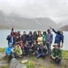

Small Group Size
Our batch sizes are capped at 15 for smaller treks with the trek leader and trekker ratio of 1:8. This ratio, in our years of experience, has proven to deliver the best trekking experience for individuals as well as groups. Capping the size of the group ensures individual attention to each trekker so that no signs of distress or need during the trek go unnoticed. It also helps to form a more cohesive cohort with better group energy which helps define the rhythm and pace of days on the trek. As you go higher up on the BRS scale, since the stakes are higher, expeditions have an even smaller group size with the ratio of expedition leader to climber set at 1:2.
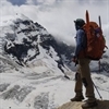

Qualified Trek Leaders
We follow a rigorous regime of hiring and training our experts in the field. Each trek leader is a certified mountaineer with years of experience in the field. In addition to their qualification, they also go through practical and situational training to tackle any and all kinds of sudden conditions that may present themselves on the ground. Being unpredictable is the core nature of the mountains but being ready for any circumstance as best as possible is a controllable asset that we try to nurture. Our field experts are also trained in basic medicine and first-aid response. Watch: Forerunners - The Making of A Trek Leader At Bikat Adventures
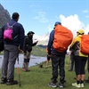

Guided Progression
Since Bikat Adventures is a learning-based organization, we help you climb up the ladder of difficulty within the sphere of outdoor adventure systematically. Our on-ground training modules are designed to handhold you through the upskilling process so that you are ready to take on bigger challenges.
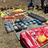

Equipment Quality and Check
All the gear used on our treks and expeditions is tried and tested, maintained for good quality, and is overall top-notch in quality and condition. We are continually looking to obtain the best of everything there is in the market so as to ensure optimum safety.

Support Systems
Along with the staff you see on-ground, we have a team of superheroes working in the background to give you the best experience possible. Our background team also comprises local staff from each area who know the region best. Having local support helps with studying the area, pre-planning, execution, and in receiving timely support in case of emergencies in these remote locations.

Communication
Our on-field staff is in constant contact with our teams based in primary locations so as to eliminate any avoidable delay in reaching additional help and support when required. We try to use the best tools for communication available, including satellite phones, in regions where they are not restricted.
What our customers Say
Cancellation Policy
Cash refund
Cancellations up to 60 days prior to departure date
Between 60 days upto 30 days prior to departure date
Between 30 days upto 10 days prior to departure date
Less than 10 days prior to departure date
Voucher refund
Cancellations up to 30 days prior to departure date
Between 30 days upto 15 days prior to departure date
Between 15 days upto 10 days prior to departure date
Less 10 days prior to departure date
- Cash refund is applicable only in case of bookings made without using any promotional offer code or Cancellation Vouchers or Discounts
- This is only a brief of cancellation terms. For finer details please refer Detailed Cancellation Policy.
Blog Posts
Similar Adventures
Borasu Pass Trek
A Thrilling Cross-Over Trek connecting Har Ki Dun to Baspa Valley
Uttarakhand
9 Days
BRS 5
5360 m
Kalihani Pass Trek
A challenging and off-beat gem of Himachal
Himachal
8 Days
BRS 5
4800 m
Warwan Valley Trek
Hidden Gem of Kashmir
Kashmir
8 Days
BRS 5
4410 m
