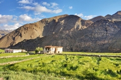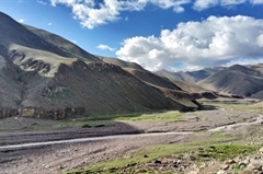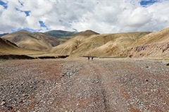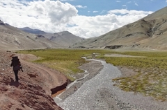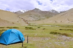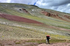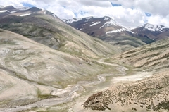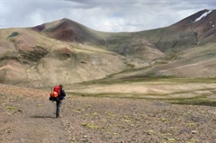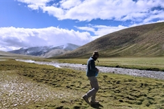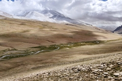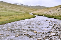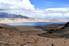
Rumtse to Tso Moriri Lake Trek
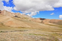
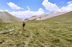
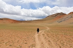
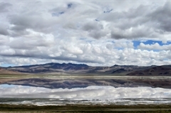
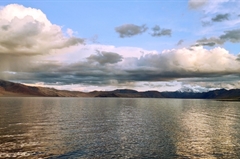
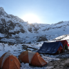
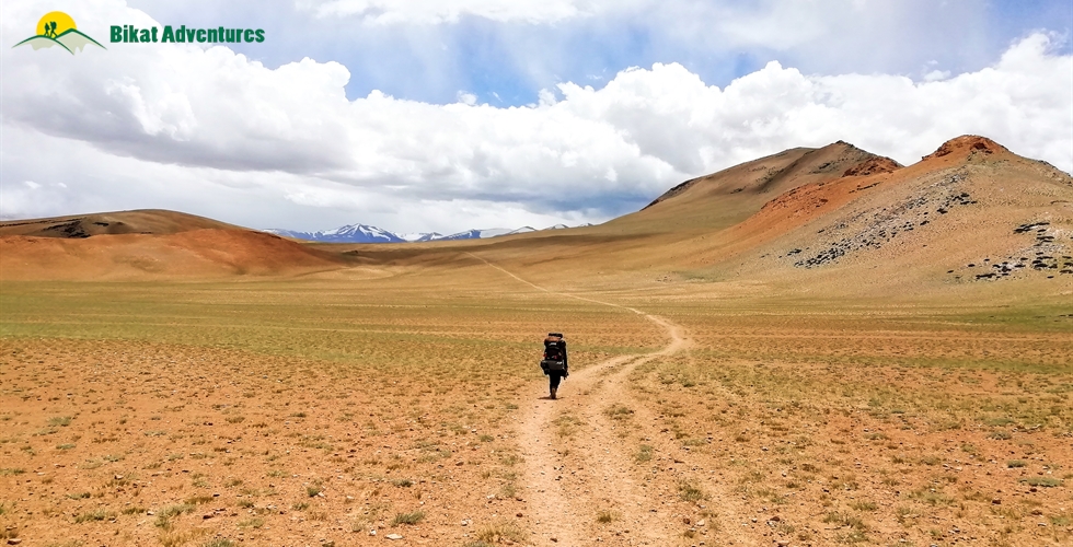
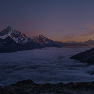
Experience all 4 season in the course of one trek
Available Batches
Available Batches
Brief Description
Brief Itinerary
Detailed Itinerary
Day 1
Arrival at LehDay 2
Acclimatization in LehDay 3
Leh (11,500 ft) to Rumtse (13,667 ft) - 76km Drive. Rumtse to Kyamar (14,714 ft) - 13 km, 6 hrs Trek.Day 4
Kyamar (14,714 ft) to Tisaling (16,378 ft) via Kyamar La (16,700 ft) and Mandalchan La (16,976 ft) - 15 km, 8-9 hoursDay 5
Tisaling (16,378 ft) to Ponganagu/Tso Kar Campsite (14,922 ft) via Shibuk La (17,248 ft) - 15 km, 6-7 hours.Day 6
Ponganagu (14,922 ft) to Nuruchan (15,254 ft) - 16 km, 5-6 hours.Day 7
Nuruchan (15,254 ft) to Gyamar Barma (17,074 ft) via Kyamayuri La (17,713 ft) - 18 km, 7-8 hours.Day 8
Gyamar Barma (17,074 ft) to Gyamar (16,787 ft) via Kartse La (17,614 ft) - 8 km, 3-4 hours.Day 9
Gyamar (16,787 ft) to Karzok (14,890 ft) via Yalung Nyau La (17,760 ft) - 20 km, 8-9 hours.Day 10
Karzok to Leh - 215 km, 8-9 hours drive.Day 11
Departure from LehWhat's Included
- Camping during the trek and Guest House/Hotel Stay on twin / triple sharing basis in Leh (Day 1, 2, and 10) and Karzok (Day 9)
- Food as per menu on the trek
- Forest Permits/Camping Charges, if any (Upto the amount charged for Indian nationals)
- Dome tents - on twin sharing basis, Sleeping bags, mats
- Micro-spikes, Gaiters, Helmets, if required
- Trek guide, cook, helpers, and porters for carrying common supplies
- Mountaineering course certified Trek Leader with First Aid certification along with special rescue course from NIM, Uttarkashi
- Exhaustive First Aid kit including Oxygen cylinder
What's Not Included
- Meals during Hotel Stay in Leh
- Meals during road journeys
- Any kind of personal expenses
- Any kind of Insurance
- Mules or porter to carry personal luggage
- Anything not specifically mentioned under the head Inclusions
- Permit Fee for Foreign Nationals
Are you Eligible for this Adventure?
BRS Level Required
This makes it mandatory for you to have high-altitude experience of preferably multiple treks marked at level 5 on the BRS. The altitude, the terrain and the nature of the climb demand a certain level of skill and a need for you to be aware of how your body reacts to the various features of high altitude environment.
If you do not know what level of BRS trek would suit you best, worry not! Fill out this Form:
we will send you a progression chart to help you comfortably get out of your comfort zone in order to level up and ultimately reach your highest potential in the big, bad world of outdoor adventure.
Packing List
This is a list of essential items for individuals doing the trek with Bikat Adventures. This list contains only those items which the participants are required to bring with them. The list excludes those items which are provided by Bikat Adventures on the trek. We have divided the items into five categories. All the items in the list are essential except for those marked as optional.
Trekking Gear
- Ruck sack bag with rain cover. Qty -1
- Day Pack Bag - Recommended for treks with summit day
- Head Torch with spare Batteries. Qty -1
- U V protection sunglasses. Qty -1 Here is how you can choose the best sunglasses for trekking.
- Water Bottles: 2 bottles of 1 liter each
Footwear
- Non-skid, deep treaded, high-ankle trekking shoes Qty -1
- Pair of light weight Slipper/Sandals Qty -1
Clothing
- Quick Dry Warm lower or Track Pants. Qty - 2
- Full sleeves T-shirts/ Sweatshirts. 1 for every 2 days of trekking
- Pair of thick woolen socks. 1 pair for every two days of trekking
- Thermal Body warmer Upper & Lower. Qty-1
- Undergarments. Qty - 1 for every day of trekking
- Warm jacket closed at wrist & neck .Qty-1
- Full sleeves sweater. Qty -1
- Rain wear ( Jacket & Pants ) . Qty-1
- Pair of waterproof, warm gloves. Qty-1
- Woolen cap. Qty-1
- Sun shielding Hat. Qty -1
Toiletries
- Personal toiletries kit (Small Towel, Toilet paper, paper soap, Bar soap, toothbrush, toothpaste, cold cream, etc.)
- Sun screen lotion small pack. Qty -1 Here is your Sun Protection 101 to stay safe in the bright sunny outdoors.
- Lip Balm small pack. Qty-1
Utensils
- Small size, Light weight & Leak proof lunch box. Qty-1
- Plate. Qty- 1
- Spoon.Qty-1
- Tea/Coffee (plastic) Mug.Qty-1
Miscellaneous
- Camera (Optional)
- Carry your medicines in plenty in case you have any specific ailment. Consult your doctor before joining the trek.
- Dry fruits, Nuts, Chocolate bars (Optional)
Frequently Asked Questions
Why Bikat?

Small Group Size
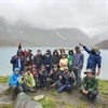
Our batch sizes are capped at 15 for smaller treks with the trek leader and trekker ratio of 1:8. This ratio, in our years of experience, has proven to deliver the best trekking experience for individuals as well as groups. Capping the size of the group ensures individual attention to each trekker so that no signs of distress or need during the trek go unnoticed. It also helps to form a more cohesive cohort with better group energy which helps define the rhythm and pace of days on the trek. As you go higher up on the BRS scale, since the stakes are higher, expeditions have an even smaller group size with the ratio of expedition leader to climber set at 1:2.

Qualified Trek Leaders
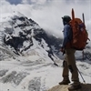
We follow a rigorous regime of hiring and training our experts in the field. Each trek leader is a certified mountaineer with years of experience in the field. In addition to their qualification, they also go through practical and situational training to tackle any and all kinds of sudden conditions that may present themselves on the ground. Being unpredictable is the core nature of the mountains but being ready for any circumstance as best as possible is a controllable asset that we try to nurture. Our field experts are also trained in basic medicine and first-aid response. Watch: Forerunners - The Making of A Trek Leader At Bikat Adventures

Guided Progression
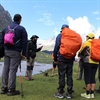
Since Bikat Adventures is a learning-based organization, we help you climb up the ladder of difficulty within the sphere of outdoor adventure systematically. Our on-ground training modules are designed to handhold you through the upskilling process so that you are ready to take on bigger challenges.
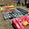

Equipment Quality and Check
All the gear used on our treks and expeditions is tried and tested, maintained for good quality, and is overall top-notch in quality and condition. We are continually looking to obtain the best of everything there is in the market so as to ensure optimum safety.

Support Systems
Along with the staff you see on-ground, we have a team of superheroes working in the background to give you the best experience possible. Our background team also comprises local staff from each area who know the region best. Having local support helps with studying the area, pre-planning, execution, and in receiving timely support in case of emergencies in these remote locations.


Communication
Our on-field staff is in constant contact with our teams based in primary locations so as to eliminate any avoidable delay in reaching additional help and support when required. We try to use the best tools for communication available, including satellite phones, in regions where they are not restricted.
What our customers Say
Cancellation Policy
Cash refund
Cancellations up to 60 days prior to departure date
Between 60 days upto 30 days prior to departure date
Between 30 days upto 10 days prior to departure date
Less than 10 days prior to departure date
Voucher refund
Cancellations up to 30 days prior to departure date
Between 30 days upto 15 days prior to departure date
Between 15 days upto 10 days prior to departure date
Less 10 days prior to departure date
- Cash refund is applicable only in case of bookings made without using any promotional offer code or Cancellation Vouchers or Discounts
- This is only a brief of cancellation terms. For finer details please refer Detailed Cancellation Policy.
Blog Posts
Similar Adventures
Parang La Expedition
An Ancient Trade Route between Spiti and Ladakh
Himachal
12 Days
BRS 6
5580 m
Pin Parvati Pass Expedition
The Wildest Cross-Over Trek of India
Himachal
12 Days
BRS 6
5298 m
Auden's Col Expedition
A Stunning Cross-Over from Gangotri to Kedarnath - Not for the Faint-Hearted
Uttarakhand
16 Days
BRS 6
5490 m
