Markha Valley Winter Trek
Available Batches
Brief Description
Brief Itinerary
Detailed Itinerary
Day 1
Arrive at Leh (3,500M)
Leh is the center for many popular treks like Stok Kangri, Kang Yatse, Spituk, Chadar, and Markha Valley. Once you reach Kushok Bakula Rimpochee airport, there are shared cabs outside to reach Leh market. You can find affordable homestays, hostels, and hotels there. The distance from the Airport to Leh market is 4 km and the fare for the cab is around INR 100. If you have opted for accommodation from Bikat Adventures, then the location for your accommodation will be shared with you before your arrival.
The first day is meant for rest. Being at an altitude of 3,500M, the oxygen level at Leh is much lower and the temperature by day is around -15 degrees which drops further to -20 by night. In the beginning, you might feel dizzy and find it hard to breathe. So instead of exerting your body, try to relax and rest.
Day 2
Acclimatization at Leh (3,500M)
Day 2 plays a major role in making your body adapt to the high altitude and temperature. This day is specifically set to explore the local market and nearby hot spots within and around the city. A simple walk or hike can regulate your oxygen level and make it ready for the journey ahead.
Leh market area consists of several novel cafes, iconic restaurants, woolen shops, army general stores, and gift shops. The flea markets are the ideal spot to get some souvenirs and authentic Ladakhi merchandise. If you opt for sightseeing then you can visit the Leh palace and the monastery right next to the market.
Day 3
Leh (3,500M) to Chilling (3,400M) to Skiu (3,400M)
Distance: 60 km to Chilling + 5 km to Skiu
Duration: 2 hour drive + 3 hour trek
Drive to Chilling
The trail to Markha Valley trek begins from Chilling village. Around 9 AM, a camper or a cab is ready near Pologround to pick us up from our accommodation. The drive from Leh to Chilling is a pleasant one with astounding scenery. It is about 60 km and takes close to 2 hours to reach by road.
A few minutes into the drive, we come out of the market area and enter the highway. The highway holds panoramic views of the crystal white Stok Range on the left-hand side of the road and stunning views of cityscape on the right. As soon as the views fade, we gain elevation and arrive at our first pit stop, the Magnetic Hill. The road from the magnetic hill joins the beautiful Sangam – the confluence points of Zanskar and Indus rivers. Sangam is our second pit stop. We wait at Sangam for a few minutes and then resume our journey. The road from the Sangam point turns right and joins Chilling through a big iron bridge. As soon as we enter Chilling valley, we enter the territory of Hemis National Park.
After a drive of 10 more minutes through sharp bends inside the Chilling village, we stop at the starting point of the trail.
Chilling to Skiu
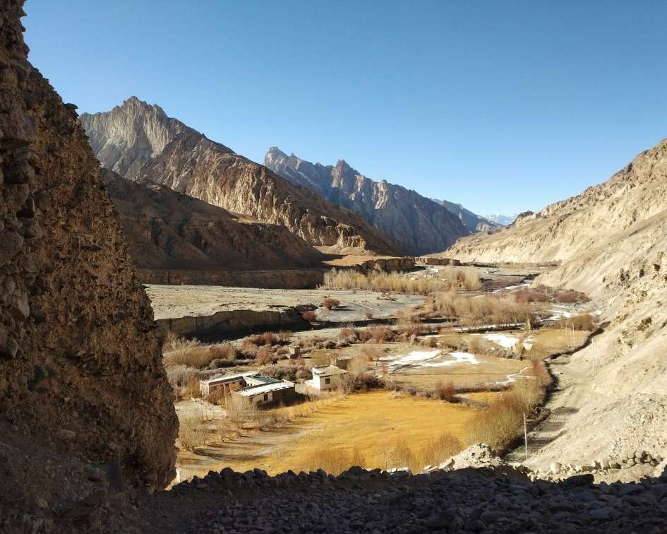
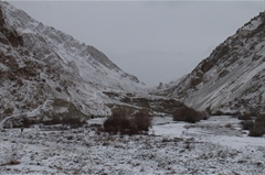
The trail from Chilling to Skiu is flat without any ascents or descents. For the first two kilometers, we walk alongside the lush farmlands of Chilling. Look to your right and you will notice the tall poplar trees arranged in a fence-like fashion to guard the crops against yaks and horses. Once we cover a distance of 5 km (roughly 3 hours), the track narrows down to open into an expanse with sweeping views of the Ladakh range. That is Skiu, our campsite for the day.
Day 4
Skiu (3,500M) to Sara (3,500M)
Distance: 10 km
Duration: 6 hours
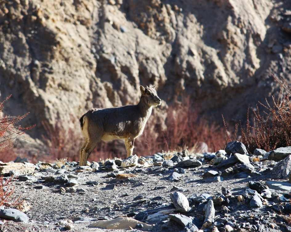
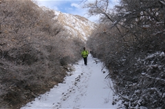
The gradient for today is easy with minor ascents and descents. There are plenty of water sources throughout the day. For the first 2 km, we walk on well-paved pathways made by the villagers. There are puddles of frozen water all along the trail. Keep your eyes peeled for some exotic Himalayan birds like the Eurasian magpie and white cap red star along the trail. When you come across areas with dense shrubs and vegetation, look out for the nimble blue sheep. They are experts in climbing steep and inclined surfaces. When the tracks get wider, and a vast horizon emerges, we would have crossed a distance of 5 km in 2 hours. This is when we spot an age-old wooden bridge that takes us to the other side of the stream.
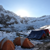
The trails from the bridge expand into a boundless area as we walk on dried-up grey sand and colorful pebbles of the Markha river. This stretch continues for another 4 km and leads us towards Sara village. The skeleton structures onhandmade wooden houses are a fascinating feature to look out for as soon as we enter Sara. As we walk past the houses and cover a distance of 1 km, we find an open area with a view of the Markha range. This is our campsite.
Day 5
Sara (3,500M) to Markha (3,700M)
Distance: 10 km
Duration: 6-7 hours
Today we leave the campsite at around 9 AM. About 2 km into the boulder-covered trails, we come across the calming Mani walls which are small, spiritual structures built by stacking up holy stones with prayers written on each one. Locals believe that people have to cross the tomb on the right-hand side for good luck. We continue to walk and ascend for another 2 km and enter into the quaint little village of Chalak, a barely populated settlement with small houses and half-built structures.
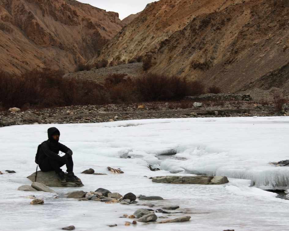
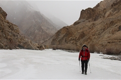
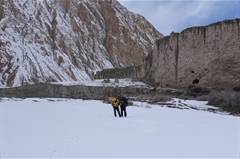
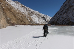
As we gradually descend from Chalak, the nature of the trail becomes fun. We walk on a huge section of the frozen river. The ice stretch spans over a distance of 4 km and directly leads us to the Markha bridge. The bridge is connected to a flattrail that leads us to Markha village. Markha village is one of the iconic spots of the valley. It has a lot of cultural significance and is rich in spiritual tales from the past. If you get some extra time, do interact with the villagers to learn more about their culture and the way they live. About 500 meters into the village, is our campsite for the day.
In Markha village, the temperature drops to -25 to -30 degrees at night because of strong downhill winds. A 4 type layering is required to keep warm.
Day 6
Markha (3,700M) to Lower Hunkar (4,000M)
Distance: 10 km
Duration: 7 Hours
We start trekking at 9 AM. The path towards Hunkar is a bit rougher and wider as compared to the other days. Though the gradient is flat, seventy percent of the trail is covered with rocks and boulders which add to the complexity of the trek today.
In the initial 2 km of the journey, we walk through a desolate landscape which bears a strong resemblance to the Wild West films of Hollywood. If you look carefully, you see the shades of brown smeared across the body of huge mountains. When the wide trails narrow down and gain elevation, we begin to see the sacred flags of the Tacha monastery.
The trail from Tacha is completely engulfed by the small golden-brown peaks of the Markha range on both sides. Most of the peaks have a sharp pointed top connected to other mountains. Together they create a colossal spike range. As we progress through the valley, we get our first glimpse of both Kang Yatse 1 and Kang Yatse 2 peaks. They stay with us for a few hours until the valley gets wider and the trails land on a frozen section after 7 km. The joy of walking on the frozen section has a way of absorbing all the pain and stress from the strenuous trek up until now. This ice stretch continues for 2 km. All we have to do is slide our way to the entry point of lower Hunkar village.
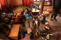
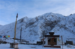
According to the winter route map, Hunkar is the last village where we stay for the night. The lower portion of the village with a few stone houses is called lower Hunkar and the higher ground with a monastery is named upper Hunkar. We set our camps or settle in a homestay at lower Hunkar.
Day 7
Lower Hunkar (4,000M) to Upper Hunkar (4,050M) to Markha (3,700M)
Distance: 2 km (to Upper Hunkar) + 12 km (to Markha village)
Duration: 1 Hour (to Upper Hunkar) + 6 hours (to Markha)
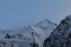
Today is the main day of the trek. The gradient of the trail is moderate with steep ascents for 2 km and easy with a flat trail of 10 km afterwards. We start trekking at 7 AM towards upper Hunkar. The path from lower Hunkar to upper Hunkar is a short fascinating 40-degree ascent. After a strenuous hike of 30-40 minutes, we finally arrive at the vantage point and get a panoramic view of the magnificent peaks Kang Yatse 1 and a subtle hint of Kang Yatse 2 behind it.
Post a successful summit, we head back directly to Markha village and settle in for the day.
Day 8
Markha (3,700M) to Sara (3,500M)
Distance: 10 km
Duration: 6 hours
Today we retrace our way back to the campsite at Sara.
Day 9
Sara to Leh (3,500M) via Skiu (3,400M) & Chilling (3,400M)
Distance: 14-15 Km
Duration: 7-8 Hours
Today is the last day of the trek; we head back to Chilling through Skiu. A vehicle waits at Chilling to pick us up and drop us back to our hotel in Leh.
Day 10
Departure from Leh
You can check out of the hotel at 10 AM and start your return journey. If you plan to stay for a few more days and explore the wonders of Ladakh, then this article will help you start off on what places to consider – Places that you must visit in Leh Ladakh.
What's Included
- Camping/Homestay during the trek
- Trek Meals (Starting Lunch on Day 3 till Breakfast on Day 9)
- Gaiter, Micro-spikes, and Helmet as required
- Trek Permissions Fee, if any (Upto the amount charged for Indian nationals)
- First aid medical kit including oxygen cylinder
- Experienced Guide and Support staff
- Transport from Leh to Road head and return
- Hotel/Guest House Stays in Leh (Day 1,2 & 9)
- Mountaineering course certified Trek Leader with First Aid certification
What's Not Included
- Meals in Leh
- Meals during road Journeys
- Any kind of personal expenses
- Any kind of Insurance
- Mules or porter to carry personal luggage
- Anything not specifically mentioned under the head Inclusions
- Inner Line Permit Fee
- Altoa & Environmental / Wildlife Permit Fee. Approx Charge 6k to 8k to be paid on the spot to the authorities
Are you Eligible for this Adventure?
BRS Level Required
Packing List
Frequently Asked Questions
Why Bikat?

Small Group Size
Our batch sizes are capped at 15 for smaller treks with the trek leader and trekker ratio of 1:8. This ratio, in our years of experience, has proven to deliver the best trekking experience for individuals as well as groups. Capping the size of the group ensures individual attention to each trekker so that no signs of distress or need during the trek go unnoticed. It also helps to form a more cohesive cohort with better group energy which helps define the rhythm and pace of days on the trek. As you go higher up on the BRS scale, since the stakes are higher, expeditions have an even smaller group size with the ratio of expedition leader to climber set at 1:2.

Qualified Trek Leaders
We follow a rigorous regime of hiring and training our experts in the field. Each trek leader is a certified mountaineer with years of experience in the field. In addition to their qualification, they also go through practical and situational training to tackle any and all kinds of sudden conditions that may present themselves on the ground. Being unpredictable is the core nature of the mountains but being ready for any circumstance as best as possible is a controllable asset that we try to nurture. Our field experts are also trained in basic medicine and first-aid response. Watch: Forerunners - The Making of A Trek Leader At Bikat Adventures

Guided Progression
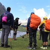
Since Bikat Adventures is a learning-based organization, we help you climb up the ladder of difficulty within the sphere of outdoor adventure systematically. Our on-ground training modules are designed to handhold you through the upskilling process so that you are ready to take on bigger challenges.

Equipment Quality and Check
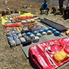
All the gear used on our treks and expeditions is tried and tested, maintained for good quality, and is overall top-notch in quality and condition. We are continually looking to obtain the best of everything there is in the market so as to ensure optimum safety.

Support Systems
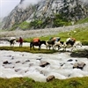
Along with the staff you see on-ground, we have a team of superheroes working in the background to give you the best experience possible. Our background team also comprises local staff from each area who know the region best. Having local support helps with studying the area, pre-planning, execution, and in receiving timely support in case of emergencies in these remote locations.

Communication
Our on-field staff is in constant contact with our teams based in primary locations so as to eliminate any avoidable delay in reaching additional help and support when required. We try to use the best tools for communication available, including satellite phones, in regions where they are not restricted.
What our customers Say
Cancellation Policy
Cash refund
Cancellations up to 60 days prior to departure date
Between 60 days upto 30 days prior to departure date
Between 30 days upto 10 days prior to departure date
Less than 10 days prior to departure date
Voucher refund
Cancellations up to 30 days prior to departure date
Between 30 days upto 15 days prior to departure date
Between 15 days upto 10 days prior to departure date
Less 10 days prior to departure date
- Cash refund is applicable only in case of bookings made without using any promotional offer code or Cancellation Vouchers or Discounts
- This is only a brief of cancellation terms. For finer details please refer Detailed Cancellation Policy.
Blog Posts
