
The name of the valley literally translates to valley (doon) of the Gods or Shiva (Har). Is it then a surprise that everything about the Har ki Doon Valley is intertwined with mythical stories from the epic Mahabharata? From the Swargarohini peak which tells the tale of Yudhishthir’s plight of reaching heaven, the infamous temple of Duryodhana, a clan full of people declaring themselves as heirs of Duryodhana, the valley is brimming with legends and tales from our past as a people. But what leaves me wanting is the lack of explanation around why the Pandavas picked this valley and this very mountain to make their way to heaven? Why is it that history casting a villainous shadow on Duryodhana not repel the clan of Har ki Doon valley who still associate their lineage with him with pride? How come they didn’t come to hate this giant from our epics?
History is strange and mythology is stranger. It always projects the victor’s view as reality and truth.
Let’s see what exactly the mythology behind this valley is. The story goes that there was a clan that was faithful towards the Kauravas (Duryodhan) that lived close to the currently existing village of Osla. They were so loyal to Duryodhana that they built a temple (well, not when he was alive though, but much after his time)! We can safely presume that they (or the warriors among them) would have fought for Duryodhana in the war that mattered, the Mahabharata.
Now that’s just one part of the story; the second part is how Pandavas chose this valley in the wide Himalayan range for their final journey, to their final adobe. Mind you they had traveled many or most regions in the Himalayan range; they could have chosen anywhere but they chose a valley where they knew a temple of Duryodhana exists and the clan is still faithful towards him? Did they have any guilt? Or was it their last war to conquer….the fight against their own guilt, the war they needed to survive, in order to attain their ‘self’?
Legend goes that while all Pandavas started together, only Yudhishthir survived till the end. Well, it’s no secret that Bhim and Arjun were definitely fitter than him but they didn’t make it. Why? Did this valley throw some questions their way which they could not avoid and hence fell deeper into guilt? Yudhishthir also had something he could not conquer and sacrificed one finger on this journey. A dog accompanied him till the end; this is no surprise as you see dogs tagging alongside trekkers even today. Why we’ll never know!
These are only some questions I find myself asking but fail to arrive at a definite answer. Do you think you have the answers to these? I’d love to know what you think about this piece of our history and tale.
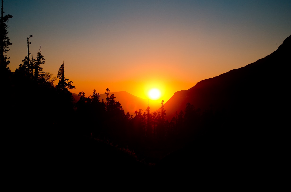
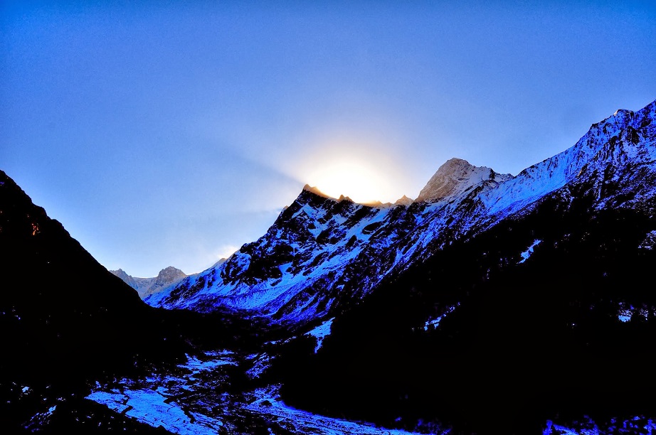
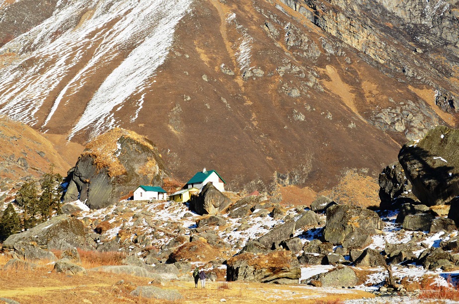
We will revisit these questions a bit later in the text – because I do have my own version of a probable explanation which I think is quite on point! But for now, let’s move on to take a look at some of the features of this valley of Gods that make it majestic, to say the least. The valley starts from a small village, Sankri and moves towards the Swargrohini peak which stands tall at 6,252M with many small villages at its foothills, like Taluka, Ganghar, Osla, Seema, all having their homogeneous structures tied together with some sort of cultural glue.
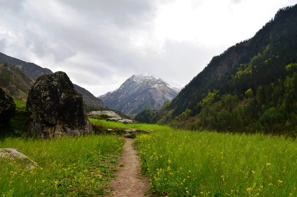
The valley is shaped like a cradle right on the border of Himachal Pradesh and Uttarakhand (if you bother about the current political boundaries) and provides an ancient trade route to Kinnaur valley (if you are a history buff). The valley is connected through Borasu Pass, a high altitude pass which rests at 5,450M, to the Baspa valley. It boasts of certain attractions like Jamdhar glacier (3,700M) and Swargrohini peak towards the south-east, Ruinsara and Morinda lakes, Bonga peak, Black peak, Supin River, Fateh Parbat, views of Bandar punch towards the west, a great diversity of vegetation, and multiple thriving species of birds.
Let’s take a look at each of these in detail:
1. Vegetation –
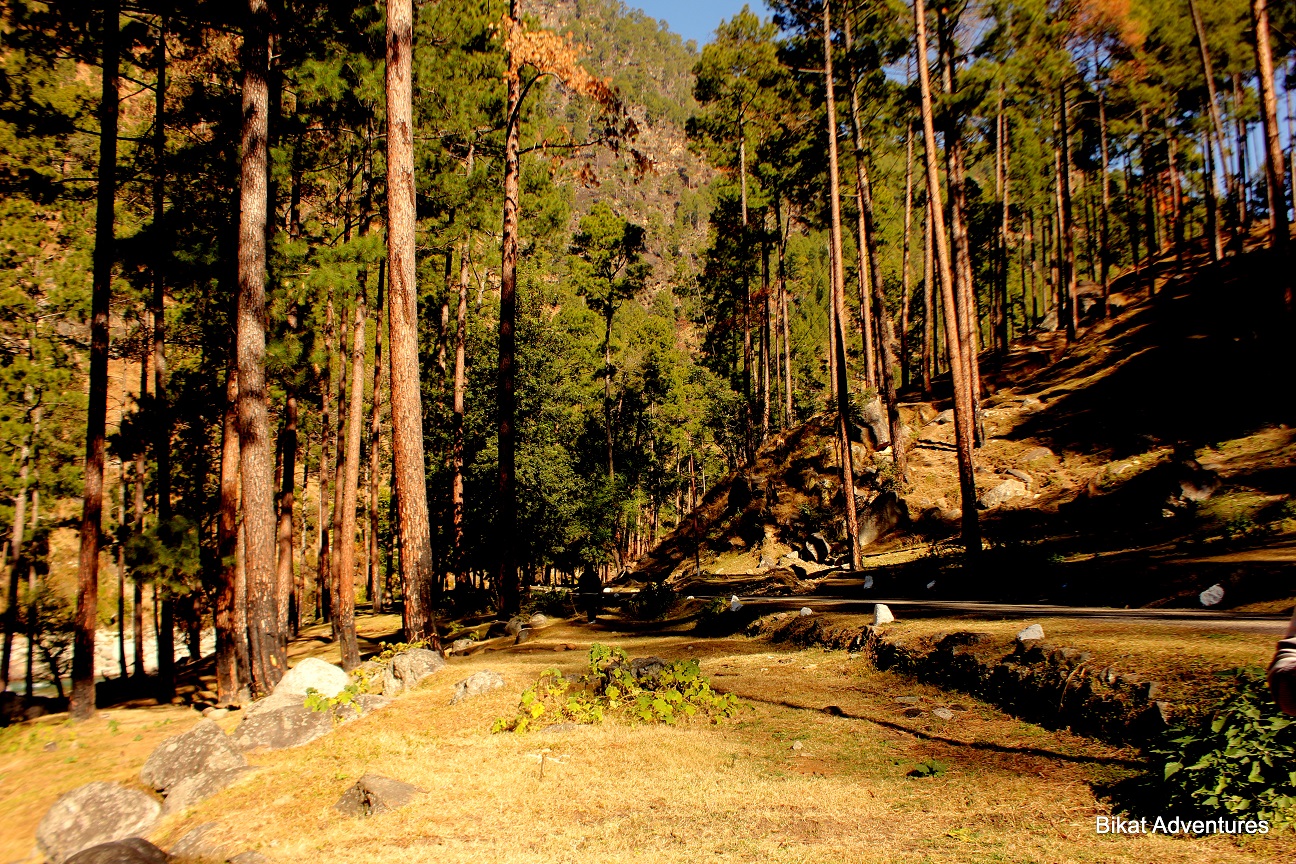
Well I am no expert of botany but I do notice flowers and herbs that look different. I do ask about them; it’s not always that I get clear answers but sometimes I get lucky. This valley is rich in medicinal herbs like Guchi, Nagchatri, etc which are used in the practice of Ayurveda even today but local consumption of these herbs is on a decline. Most of these herbs are procured by the locals and sold off to mediating agencies that take these to China. People make big bucks in this business but the valley is getting devoid of the herbs with the money kicking in! These days you hardly find these herbs while in the past they were a common commodity in every household, used extensively in everyday cooking. The valley is also rich in Birches, pine trees, Bhojpatra – the same tree whose leaves were used in the ancient times to write on, Brahmkamal – a flower found around high altitude lakes, similar to the lotus that we see on plains.
2. Peaks and passes –
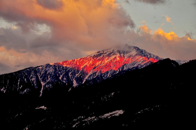
Fateh Parbat whose base is defined as the Har Ki Doon valley is placed at an altitude of approximately 3,700M. Jamdhar or Jaundhar glacier is another feature that attracts huge crowds - at an altitude of 4,300M, it’s a 10 km trek from GMVN guest house in the valley. Swargrohini stands tall as the most charming peak of this region (6252M). Borasu pass that connects to Baspa valley stands at a height of 5450M. A little diversion can take one to the Bali pass at 4940M that crosses into other regions of Uttarakhand. It is fair to say that the valley is rich in its possessions!
3. Lakes and rivers –
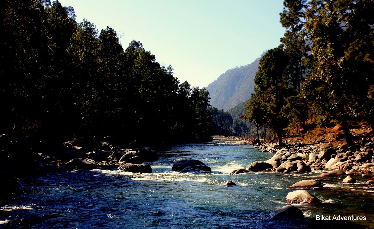
Supin River accompanies you through the valley from the very beginning at Taluka. Ruinsara lake is another famous high altitude lake in this area situated at 3,613M giving birth to a river called by its own name – Ruinsara, flowing towards the Bali pass side. Morinda taal is another lake surrounded by beautiful Brahmakamal that is just 3 kms away from the main camp site of Har ki Doon.
4. Birds and animals –
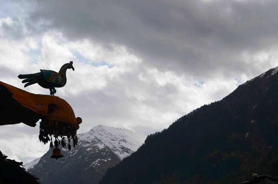
Well if I start counting, the list is endless. So I will just take a few names here like the Monal, Rose finch, Redstart, Bearded vulture (all birds) and Brown beer, Musk deer, Koklas pheasant to give you a hint that the region is extremely rich in bio-diversity. Rest I leave to you to observe and experience first-hand. Try also to look for representation of the fauna in villages; people around here love their birds and animals which is reflected in some of the heritage that they carry.
Now, let’s get back to where we started, the questions. I detailed the beauty and richness of this valley to demonstrate my logic behind two points that I feel strongly about.
1. Confident Tribe:
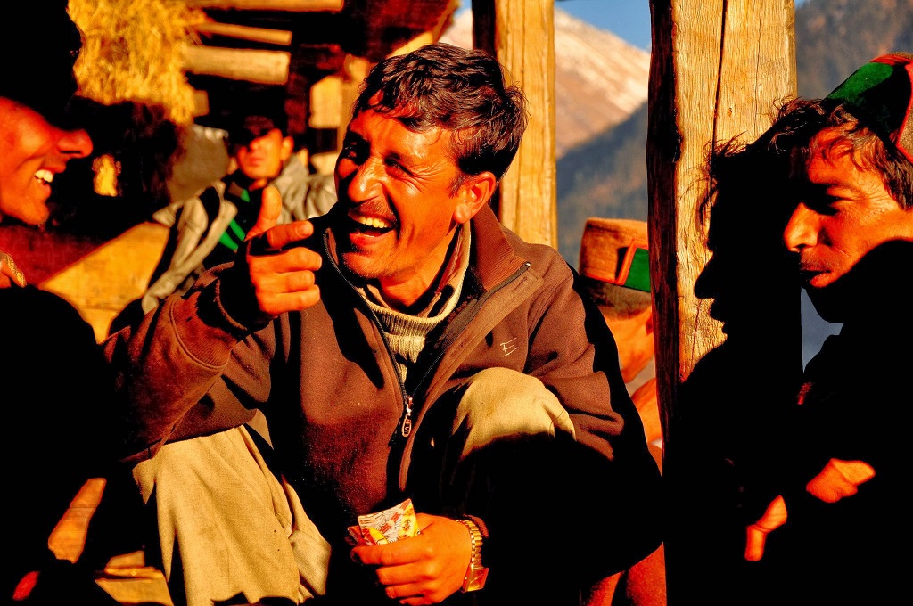
The richness in nature here (that too from all angles like geography, biodiversity, beauty, resources like water, wood, medicines, food, and connectivity to other regions for trade) would have made the tribes of this region very secure in their minds. They are confident men and women and you can feel it if you talk to them. Based on my conversations with a few of them, they still don’t want houses in the so-called ‘developed’ regions of the earth.
2. The attractiveness of the Beauty of this valley is extreme:
What looks like heaven, can only lead to heaven. I have been here twice and we, me and my friends, often talked about settling here. Not that I have not been to another valley as beautiful but there is something about this valley that makes it extremely attractive: the wine of these villages hit you more, the women here have more charm, the men look stronger…I am not sure what exactly draws me here but it’s just the right combination of all aspects of beauty that makes Har Ki Doon a perfect valley.
Conclusion
Now, why do I drive these 2 points? Here I propose a hypothesis that Pandavas might have also chosen this valley for precisely the reasons above. The beauty would have naturally struck them but more importantly they would have felt that the guilt can only be conquered by facing the confident and fearless tribe of this valley, the tribe that can ask them difficult questions despite them being the declared kings of the land, the people who can challenge them with a real victory… a victory over their doubts, a victory over their guilt! As I clarified, this is just my hypothesis!
Well whether this blog gives you more to think about when you go there next or not, it should at least give you facts about the extensions and newer regions that you can explore from Har-Ki-Doon.
Well whether this blog gives you more to think about when you go there next or not, it should at least give you facts about the extensions and newer regions that you can explore from Har-Ki-Doon.
This article was originally written by Ritvij Kumar on 18-04-2015.
It was edited and updated by Neeti Singhal on 11-07-2023.


")


